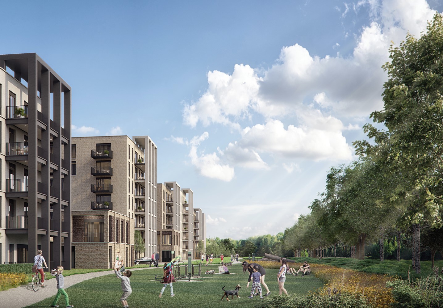


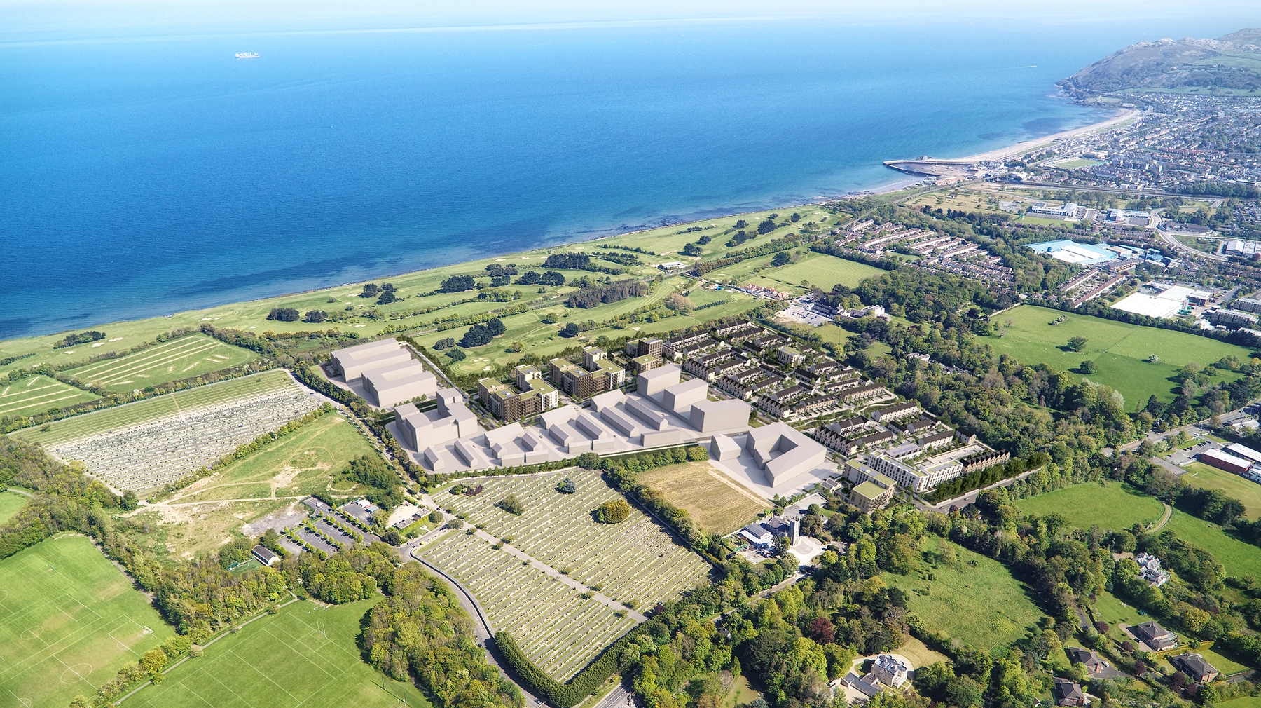
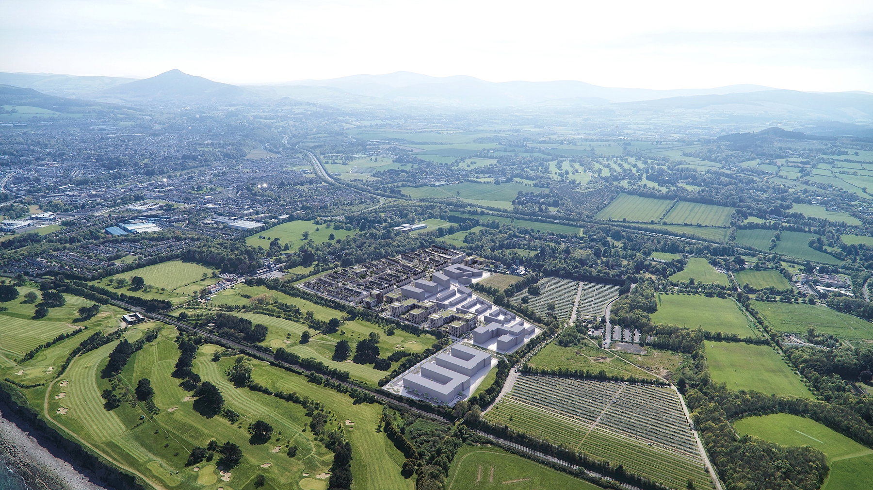
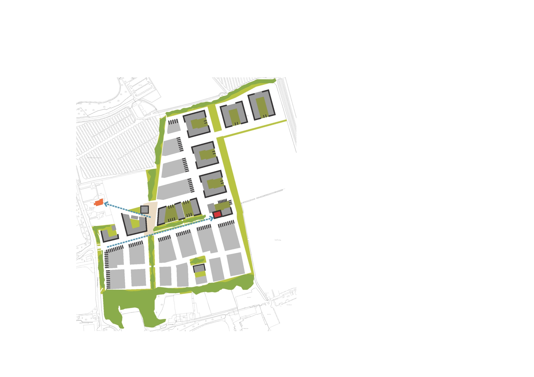
The Woodbrook masterplan is structured by its surrounding landscape features, and its proximity to existing and planned strategic infrastructure, including Shanganagh Park and a new DART station. Three linear open spaces traverse the site, framing views towards Bray Head and the Sugar Loaf, and connecting the new community to Shanganagh Park, a regional amenity. These are complemented by generous landscape zones along site boundaries protecting perimeter trees, and facilitating pedestrian and cycle movement.
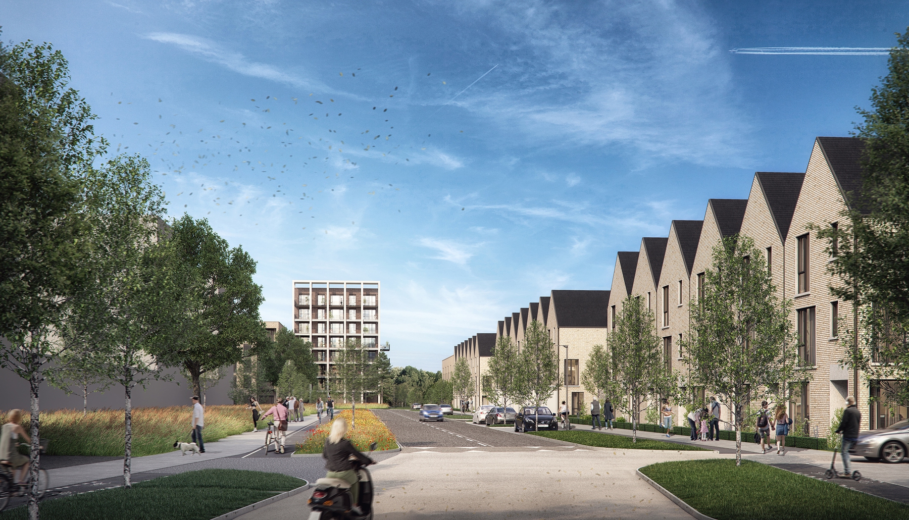
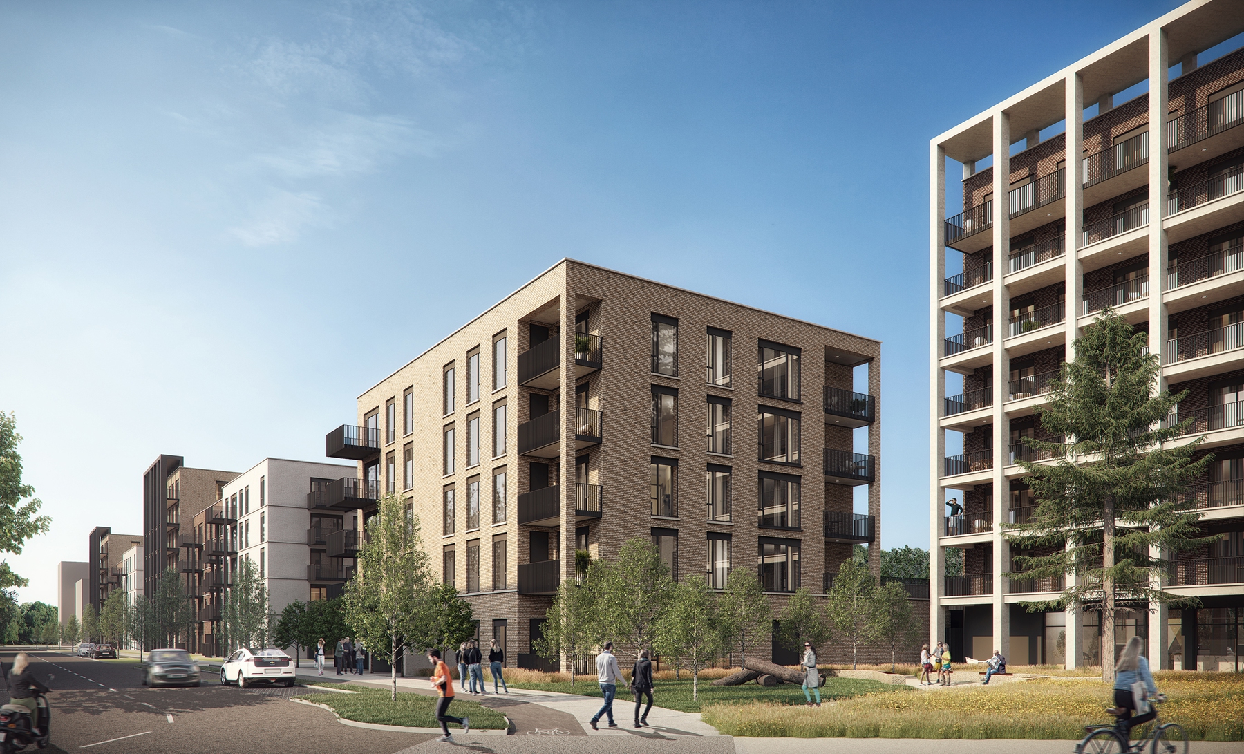
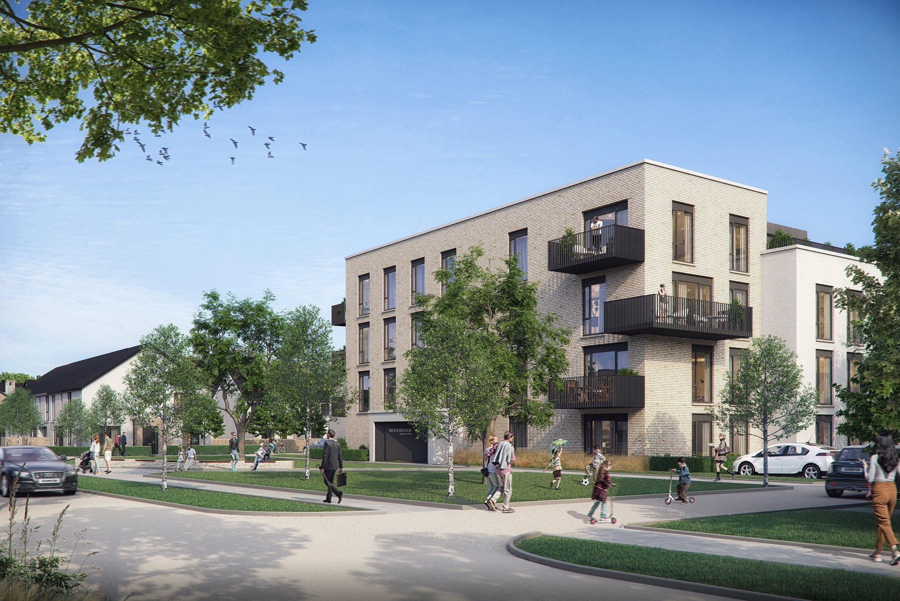
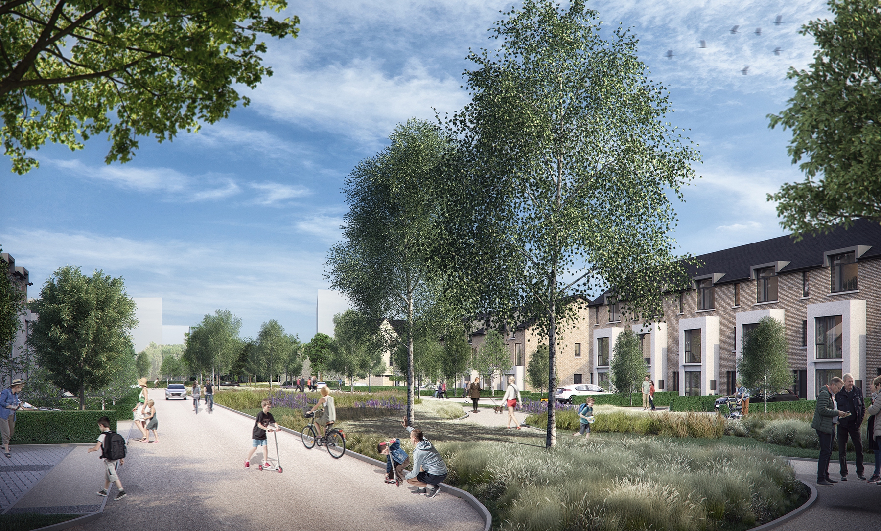
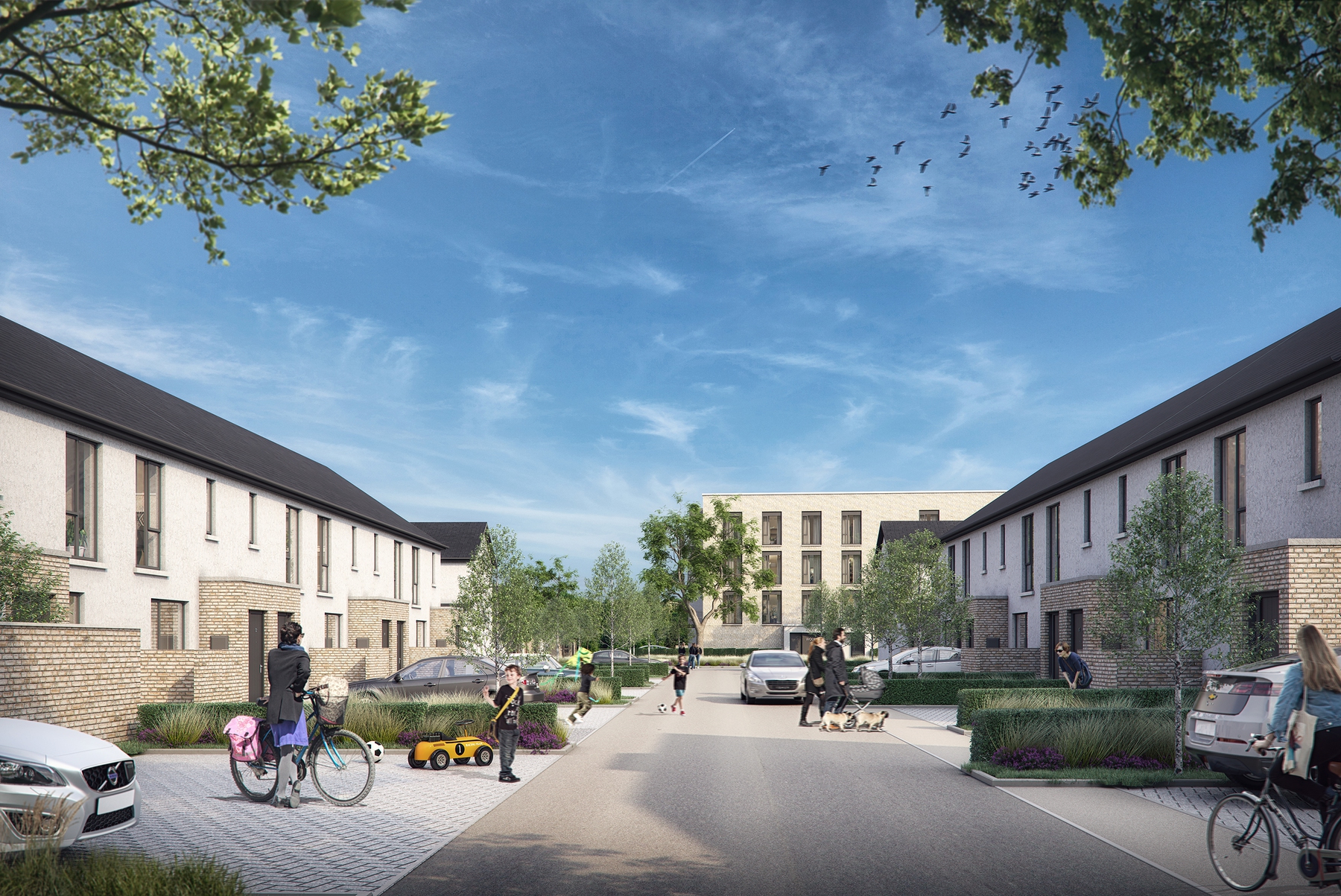
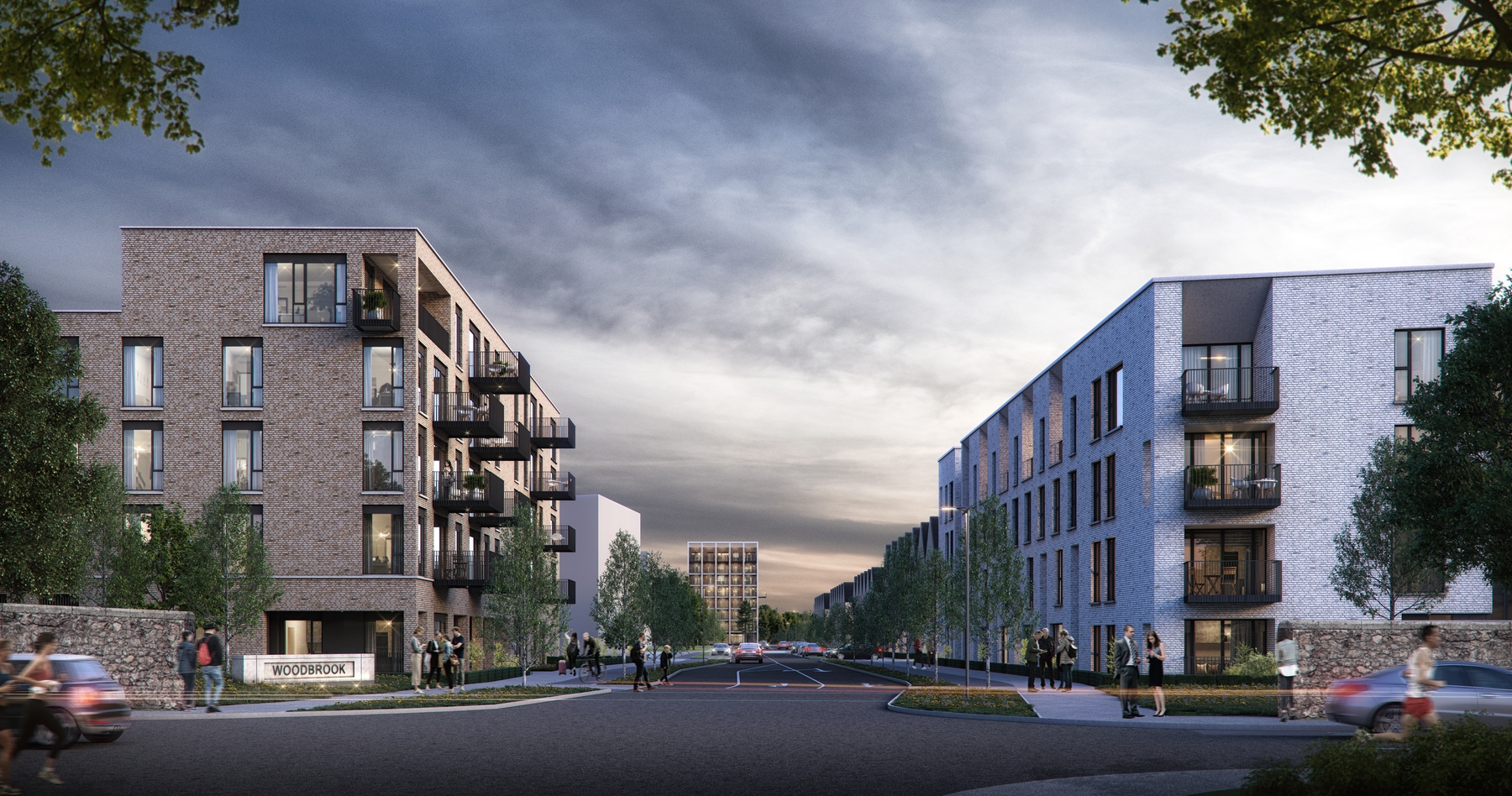
Woodbrook Avenue forms the principal circulation route, linking the access point on the Old Dublin Road to the new DART station in the northeast corner of the Masterplan area. The settlement is laid out in character areas, with scale and density generally increasing in proximity to the DART station and the significant open spaces, with lower density areas being located adjacent to the protected structures.
1400 dwellings are proposed, of which 682 units are permitted as part of Phase 1. A local centre and a primary school are located at the junction of Woodbrook Avenue and the Green Axis, with the local centre framing a view between the civic plaza and St. James’ Church, fostering a strong sense of place, and a focal point for the community.
